★★★★★ 5.0 · 141 Google reviews

Shoreham-by-Sea, West Sussex Man with a Van, Removals & Clearance

We vet every self-employed driver who signs up near Shoreham-by-Sea, then connect them with you, whether the job is one van load or a full removal. Shoreham-by-Sea, postcode district BN43, comes under Adur council.

  • Independent local drivers
  • UK-wide
  • No hidden fees

Pick one to get started

Man & vanInstant price
Full removalsCustom quote
Rubbish removalQuick quote
House clearanceCustom quote

Recent Moves in Shoreham-by-Sea

Photos, routes and reviews from recent jobs.

Isaac Driver Isaac 4.9 (9) London, Whitechapel

Man with a Van Brighton to Liverpool

BN15 → L13 21 Aug 2026

Our customer's move out of Shoreham-by-Sea started early, with Isaac loading a mattress, chests of drawers, dining table, and desk into the Transit over three hours. The real work came next: a five-hour-plus drive to Liverpool with everything secured for the motorway haul. Our customer's husband rode along to help at the other end, and by late evening their belongings were unloaded into their new place. A proper long-distance day that needed careful planning and steady hands to get it all there in one go.

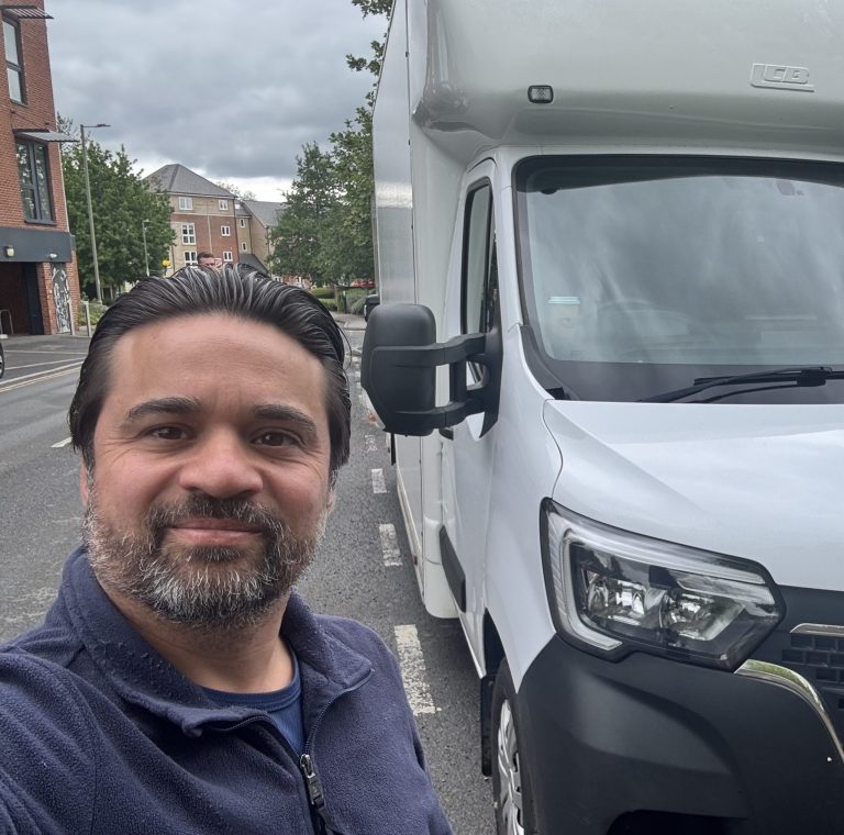
Van loaded for a move from BN15 to L13 Route map from BN15 to L13

Covering all areas of Shoreham-by-Sea

Local drivers across every neighbourhood

At Census 2021, 1,003 households lived in the ONS small area round central Shoreham-by-Sea, with 47% of them housed in purpose-built flats, set beside 17% for England. A detached house is home to 2.7% of those households, and 7.1% have four bedrooms or more. In an upper-floor flat, pass the floor number to your driver along with whether a lift serves the block. Within that same area, 31% of households are private tenants, and 33% report no car or van.

The BN43 5 postcode sector saw 176 standard home sales in 2025, by Land Registry figures. No new-build home was among them. Flats took 38% of that total, terraces 23%, detached houses 20% and semis 19%.

Three main roads pass the centre at 0.1 miles (A259 Brighton Road), 0.2 miles (A283 Old Shoreham Road) and 0.9 miles (A27 Shoreham Bypass). OpenStreetMap tags twenty streets near the centre with a 6’6″ width limit. Church Street, Ferry Road, Weald Dyke, The Meadway, Beach Road, Old Fort Road and Shingle Road all carry one. If your own street has that 6’6″ limit, tell your driver as soon as you can. Shoreham Recycling Centre is 0.6 miles east and Worthing Recycling Centre 3.5 miles west, and West Sussex is the county council for both.

Lancing sits 2.2 miles west and Sompting 2.8 miles west, with Steyning 4.6 miles north-west. Worthing is 4.5 miles west and Henfield 6.8 miles north.

Popular areas we cover near Shoreham-by-Sea 12 areas
Lancing Sompting Worthing Steyning Findon Henfield Hurstpierpoint Hassocks Angmering East Preston Storrington Rustington