





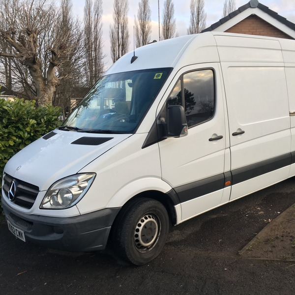
Medium VanMedium
Ford Transit Custom or equivalent
Croft is in postcode district WA3, and the council area is Warrington. The Van Man Co is a platform that puts people in touch with independent local drivers who work for themselves, and it is not a removals company.
Pick one to get started
A rough guide to the total time for loading and unloading.
Every move is different. Stairs, parking and big or awkward items all add time. If unsure, round up.
Extra loading and unloading time is charged by the hour.
Local drivers across every neighbourhood
Christ Church, Croft is a church building 0.4 miles east of the centre, while Eaves Brow Farmhouse stands 0.4 miles south-east. Springfield Farmhouse is also 0.4 miles south-east. St Lewis Presbytery is 0.6 miles north-east. All three of those farmhouse and presbytery entries are listed as Grade II.
In the small census area at the centre of Croft, which holds 754 households, detached homes make up 56.5%, against 22.9% across England. Semi-detached homes add 31.0% and terraced homes 8.2%. Purpose-built flats are just 3.3%, against 17.1% across England.
Postcode sector WA3 7 recorded 62 home sales dated in 2025. Detached homes took 47% of them, semi-detached 31%, terraced 19% and flats 3%. Of those sales, 23% were leasehold and 2 were new builds. Flats took just 3% of the sales in that sector.
Croft is 3.6 miles north-east of the Warrington centre, and Culcheth is 1.6 miles north-east, Birchwood 1.7 miles south-east and Winwick 1.9 miles west. Orford lies 2.4 miles south-west and Woolston 2.6 miles south.
Local man and van drivers covering Croft and the surrounding area.
Warrington, Westbrook
Trafford, Manchester
Chester, Shotton
St. Helens, Blackbrook
Manchester, Levenshulme
Chorley, Chorley North West
Oldham, Chadderton
Salford
Trafford, Bowdon
Manchester, Crumpsall
Liverpool, Penny Lane
Manchester, Clayton
Ford Transit Custom or equivalent
Ford Transit Van or equivalent
Ford Transit Luton or equivalent
Speak to our team about your move
